
Geo mapping
About the Service
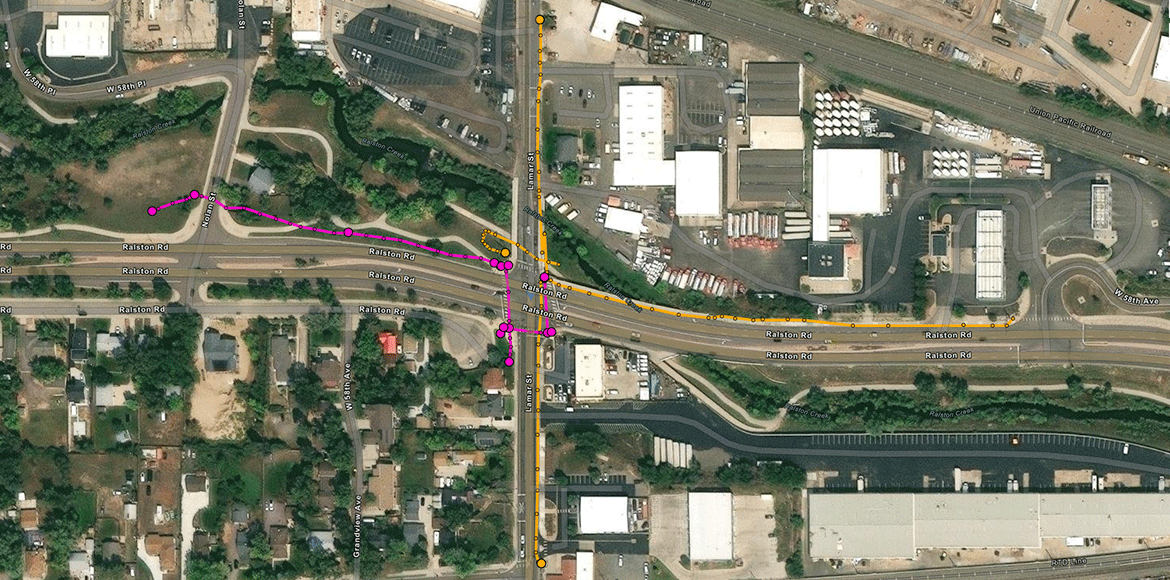
Knowing what’s underground is only half the battle — mapping it accurately is what makes that information useful. At Lighthouse TG, our Geo Mapping services provide detailed, GPS-accurate documentation of underground utilities, giving cities, contractors, and engineers a clear picture of what lies below the surface.
What You Can Expect:
- GPS-based mapping of underground utility lines, conduits, and infrastructure
- Integration with GIS platforms and digital utility records
- Field data collection during new construction, maintenance, or locating efforts
Our geo mapping services reduce guesswork, prevent rework, and support smarter planning for future projects. Whether you need to update as-builts or build a digital asset inventory, we deliver precise, reliable data that you can trust.
What’s Included
Services include GPS-enabled utility mapping, depth and material documentation, attribute tagging, and file delivery in formats compatible with GIS and CAD platforms. We also offer field markups, utility overlays, and cloud-based access to mapped assets for real-time collaboration with your team.
Looking to kick off a new project or need support with an existing one?
Fill out the form below and our team will reach out to schedule a quick call.
Thank you! Your submission has been received!
Oops! Something went wrong while submitting the form.
Contact Us
Contact Us Today for a Free Consultation
We’re a small team that loves to create great experiences and make meaningful connections between builders and customers. Join our remote ream!

